Insights
Mixed-Use Zoning Comes to Downtown Danvers: Maple Street, High Street, and What Comes Next on Endicott
By ProVenture Real Estate · September 28, 2026
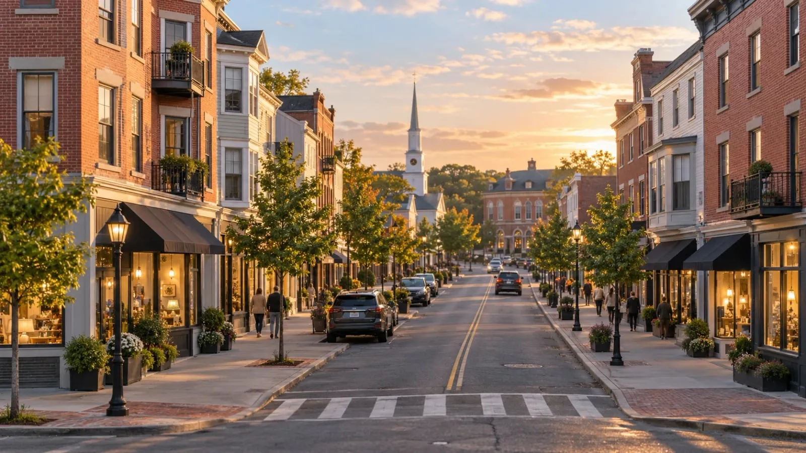
Downtown Danvers is not zoned the way it used to be. Over the past several years, the town has rewritten the rules for two of its main downtown corridors, Maple Street and High Street, to allow the kind of mixed-use development, ground-floor retail or commercial with housing above, that used to be effectively off-limits. A third corridor, Endicott Street, is now going through the same process.
If you own property, or are looking to buy, in downtown Danvers, here is what actually changed, what it allows, and where to read the bylaw yourself.
From single-use to mixed-use
For most of the last century, downtown Danvers was zoned Industrial-1, Commercial-1, and Commercial-1A: districts built for an era of standalone shops, garages, and light industry, where housing above a storefront was against the rules rather than the plan. Starting in the late 2010s, the town began replacing those districts, corridor by corridor, with new “character-based” zoning that allows ground-floor commercial with residential above as a matter of right. Maple Street and High Street are furthest along. Endicott Street is next.
That new zoning lives in four Character-Based Zoning Districts (CBZD): the Danvers Town Center – Core District (Section 19), the Danvers Town Center – Live/Work District (Section 20), the High Street Mixed Use Corridor District (Section 21), and the Maple Street Traditional Neighborhood Development Smart Growth Overlay District (Section 22). All four are public. You can read them directly on the town’s site: the current Danvers Zoning Bylaw, the Character-Based Zoning Districts standards, and the zoning map.
How the standards actually work
All four districts share one rulebook, laid out in Section 18 of the bylaw, that governs building types regardless of which district they sit in. A “Mixed-Use Building,” the workhorse type behind most of what gets built downtown, is capped at 4 stories or 45 feet, must be at least 2 stories, and cannot exceed a 10,000-square-foot footprint. A “General Commercial Building,” which cannot include any residential use, tops out at 3 stories or 40 feet.
Site standards for a mixed-use building include a side yard setback of 0 to 15 feet (waived entirely where a building shares a common wall with its neighbor), a 20-foot minimum rear yard, and a “build-to-zone” of 0 to 20 feet from the street line, with at least 70% of that street frontage required to be occupied by building facade rather than a gap or parking lot. At least 20% of the lot must be outdoor amenity space, and any parking has to sit at least 30 feet back from the street.
Parking follows one townwide table: roughly 1 space per 300 to 400 square feet for retail and commercial space, 1 per 400 to 500 square feet for office or retail inside a mixed-use building, 1 space per 2 to 3 restaurant seats, and 1 to 1.5 spaces per residential unit depending on bedroom count. Owners can seek a special permit to reduce that further through shared parking, an on-street parking offset, off-site parking within 660 feet, or a car-share program.
Both High Street and Maple Street also designate “Pedestrian Frontage Zones,” street segments where ground-floor space must go to retail, restaurants, personal services, office, repair, or municipal uses. Residential use is only allowed at street level if it is accessed from the rear or an upper floor. That ground-floor rule, along with the density tables discussed below, was updated at a Special Town Meeting on February 5, 2024, the same session that brought Danvers into compliance with a state law described below: the MBTA Communities Act.
What is the MBTA Communities Act, and why does it matter here
Some of this rezoning did not happen purely by local choice. Massachusetts General Laws Chapter 40A, Section 3A, better known as the MBTA Communities Act, requires cities and towns served by the MBTA to zone at least one district of “reasonable size” where multifamily housing is allowed as of right, without a special permit or other discretionary approval. A compliant district must allow a minimum gross density of 15 units per acre, cannot be age-restricted, and must be suitable for families with children (Mass.gov). Communities that miss their deadline risk losing eligibility for several state funding programs, including MassWorks, the Housing Choice Initiative, the Local Capital Projects Fund, and HousingWorks.
Danvers falls into the law’s “Adjacent community” category, one of four tiers the state uses, based on having under 100 acres of developable land within a half mile of a transit station (MAPC). That classification set Danvers’ specific numbers: using 2020 Census housing counts of 11,763 units, the town had to zone capacity for at least 1,176 multifamily units, 10% of its housing stock, spread across at least 50 acres, by a December 31, 2024 deadline.
Danvers cleared that deadline early. At a Special Town Meeting on February 5, 2024, members approved Article 8, formally titled “MBTA 3A Zoning Sections 18-22,” extending the required multifamily capacity across the same four Character-Based Zoning Districts covered in this article (Town of Danvers). The session hit a procedural snag: the moderator ended the meeting without a formal vote to adjourn, so members had to reconvene three weeks later, on February 26, 2024, to properly dissolve it before the zoning changes could take legal effect (Patch).
The law’s constitutionality, and with it every town’s obligation to comply, was tested statewide when the Supreme Judicial Court upheld the act in Attorney General v. Town of Milton on January 8, 2025. In Danvers, some residents pushed back on the new zoning through 2025 over density and traffic concerns, and town meeting members twice took up warrant articles aimed at rescinding or re-examining it; the second attempt was rejected by what local reporting described as a narrow voice-vote margin in May 2025, after the Select Board warned that reversing course risked more than $1 million in state grant funding. In the state’s most recent statewide accounting, from January 2026, Danvers did not appear among the communities listed as noncompliant.
Maple Street: a Smart Growth district since 2017
The area around Hobart and Maple, roughly bounded by Maple, Locust, Hobart, and North Putnam Streets, is the Maple Street Traditional Neighborhood Development Smart Growth Overlay District (MSTND), Section 22 of the zoning bylaw, adopted by Town Meeting on December 4, 2017. It is an overlay district superimposed on the underlying Industrial-1, Residential-1, and Town Center base zoning, covering roughly 16 to 17 acres split into three subdistricts, Core Mixed Use, Maple Street Limited Mixed-Use, and Hobart and Locust Street Limited Mixed-Use, with mixed-use buildings allowed by right in the first two and requiring a special permit in the third.
MSTND is also Danvers’ entry into Massachusetts Chapter 40R, a voluntary state Smart Growth program: in exchange for pre-approving denser, mixed-income, as-of-right zoning near a town center, the state pays participating towns (Mass.gov has a short explainer on how 40R works). The district was approved for up to 211 future zoned units, and the Commonwealth awarded Danvers a $200,000 Zoning Incentive Payment for adopting it, according to the town’s own 2024 Annual Town Meeting warrant report. The town put $70,000 of that award into a Downtown Improvement Fund in 2022, with the remaining $130,000 earmarked in 2024 for downtown streetscape and public-realm work. As of the state’s current tracking, 169 of the 211 approved units have been built or are under construction (Mass.gov).
In practice, that zoning allows mixed-use buildings at 28 to 36 dwelling units per acre and standalone multi-family buildings at 26 to 36 units per acre, well above what the old industrial zoning permitted. At least 20% of all housing units built in the district must be deed-restricted affordable housing, a standard Chapter 40R requirement.
The aerial view above, taken at the Hobart and Maple intersection, shows what the zoning has already produced: new mixed-use construction with ground-floor retail and apartments above, built right into the heart of the district.
High Street: the Mixed Use Corridor
High Street, both sides, roughly from Porter Street south to Route 114, is the High Street Mixed Use Corridor District (HSMUC), Section 21 of the zoning bylaw. It was created alongside two companion downtown districts, the Danvers Town Center – Core District (Section 19, around Danvers Square) and the Danvers Town Center – Live/Work District (Section 20, near Cherry and Putnam Streets), in the town’s original downtown corridor rezoning around 2020. The stated purpose, per the town’s own zoning standards, is to turn what had been an auto-oriented commercial strip into a walkable gateway into downtown, and to give owners a reason to reinvest in their buildings instead of letting them sit.
The district allows mixed-use buildings at 24 to 36 dwelling units per acre and multi-family buildings at 20 to 36 units per acre, though standalone single-family houses and paired houses are not permitted at all. Along the street itself, height steps up with distance from the right-of-way: 25 feet directly on the street line, 35 feet with a setback of roughly 10 to 40 feet, and up to 45 feet once a building sits back 50 feet or more, the same street-enclosure logic used to keep the corridor feeling walkable rather than canyon-like as buildings get taller.
The February 5, 2024 Special Town Meeting that brought Danvers into MBTA Communities Act compliance also touched High Street directly: the same density tables and Pedestrian Frontage Zone rules described above were amended that day for HSMUC, so the housing capacity built into this corridor’s zoning now also counts toward the town’s state housing-production obligations.
That combination, ground-floor commercial space with residential above, is the format the district was designed to produce, in place of the auto-oriented commercial buildings the corridor was previously built around.
What is next: Endicott Street
Endicott Street, including the area around Route 128 and Liberty Tree Mall, is currently zoned Commercial III, which effectively rules out residential use. The town, working with the Metropolitan Area Planning Council, launched the Endicott Street Visioning Study in summer 2026 to figure out what should replace it. The stated goal is not simply to fill the corridor with housing; the study is explicitly considering expanded commercial uses, added residential, and better pedestrian and vehicle circulation.
The study runs in phases, according to the town’s project page. A community survey was open this summer, and the town lists its results as coming soon. This fall, the project team is developing possible land use scenarios based on the community’s vision, with an open house or survey for feedback on them. Through fall and winter, those scenarios are refined into recommendations, with a Planning Board meeting for public comment. Looking ahead to spring 2027, the town has applied for state funding to develop new zoning, with further chances for public input. The corridor’s zoning has not changed yet. If you own or lease property on Endicott Street, this is worth following, and the town’s Endicott Street Visioning Study page is the place to check for meeting dates and updates.
How Danvers compares to its North Shore neighbors
Danvers is not alone in rewriting its downtown zoning, and the range of outcomes nearby helps place its approach in context.
Salem got there first, without waiting for a state mandate. When the state certified its first two MBTA Communities Act-compliant towns on December 12, 2023, Salem was one of them, qualifying almost entirely on zoning it already had in place downtown. Salem’s downtown B5 district, which predates the law, already allowed multi-family housing near the city’s commuter rail depot and waives on-site parking requirements for ground-floor commercial space. Since 2020, the city has permitted or built a little over 400 homes within a half mile of that station, including a six-story, 120-unit building approved for a city-owned lot next to the depot, 78 of those units set aside as affordable.
Beverly took a more incremental path, layering a new MBTA Communities overlay onto its existing downtown commercial zones rather than replacing them outright. The roughly 98-acre overlay, covering the Mandatory Mixed Use district along Rantoul Street and the city’s Central Business districts, requires a minimum density of 15 units per acre; the City Council adopted it on November 12, 2024, and the state confirmed the city’s compliance in April 2025. Beverly had already been working on a separate downtown design-standards update, drafted in August 2022, setting new height and streetscape rules for its own central business districts.
Not every neighbor has had an easy path. Middleton, which borders Danvers to the northwest, missed the state’s December 31, 2025 deadline after voters rejected the required multi-family zoning twice at Town Meeting. The town has since lost an already-awarded $2 million MassWorks grant, along with funding for a Council on Aging van, and is now contesting the mandate in court rather than sending the question back to voters. Set against Salem’s head start and Beverly’s overlay, Middleton’s standoff is a reminder of how much a town’s earlier zoning choices, or its willingness to revisit them, can shape its options once a deadline actually arrives.
What it means if you own, buy, or lease downtown
A few practical takeaways:
- Older buildings just got more valuable optionality. A commercial or industrial building on Maple or High Street that once needed a variance for residential use can often add it as of right now, a meaningful shift in the underwriting math for adaptive reuse projects.
- “Mixed-use zoning” does not mean “anything goes.” Each district carries its own density limits, building-type rules, parking ratios, and frontage requirements, on top of a shared Section 18 rulebook. Confirm specifics against the bylaw text and with Danvers planning staff before you underwrite a project, do not rely on a summary like this one.
- Compliance with state law is now part of the picture. Because High Street and Maple Street’s capacity counts toward Danvers’ MBTA Communities Act obligations, the zoning behind them carries a layer of state-level durability that purely local rezoning would not, useful context when evaluating how likely a district is to be rolled back.
- Endicott Street owners have a rare window. Zoning that has not been rewritten yet is zoning you can still have a say in. The visioning study is the moment to do that.
Frequently asked questions
Where can I see a map of Danvers’ zoning districts? The town maintains a zoning map and a separate Character-Based Zoning Districts reference map, both linked from the town’s Zoning Bylaws page.
How do I read the actual bylaw text, not just a summary? The current bylaw is posted as a single document, the 2025 Danvers Zoning Bylaw, on the town’s Zoning Bylaws page. Questions about how it applies to a specific parcel go to the town’s Department of Land Use and Community Services or the Planning Board.
Is Danvers actually in compliance with the MBTA Communities Act? Yes. Danvers does not appear among the communities the state listed as noncompliant, or as still needing a local vote to reach conditional compliance, in its most recent statewide accounting from January 2026.
Did Danvers try to undo its MBTA Communities zoning? Town meeting members considered warrant articles in 2025 aimed at rescinding or re-examining the zoning adopted for compliance, after some residents raised concerns about density and municipal services. The most recent attempt was rejected by a narrow voice-vote margin in May 2025.
What does it actually mean that part of Danvers uses Chapter 40R? Chapter 40R is a 2004 Massachusetts law letting towns voluntarily create denser, mixed-use zoning, typically near a town center, in exchange for one-time state payments. State law requires at least 20% of the homes built in an approved 40R district to be affordable. Maple Street is Danvers’ only 40R district; High Street, Endicott Street, and the two Town Center districts are not part of that program.
Zoning changes like these tend to move slowly and then all at once. Maple Street took until 2017 to formalize, High Street followed a few years later and was folded into a statewide housing mandate in 2024, and Endicott Street is only now working through its own version of the same process. For anyone tracking downtown Danvers, that makes the next several months, while the Endicott Street scenarios and recommendations are still being shaped, worth paying attention to.